 ID:311992
复制
ID:311992
复制
紫雪懿焱
gis开发工程师 · 6年经验 · 中交二公局
0
累计接单
0
用户评价
0
被收藏
技术能力
前端gis api:
1.arcgis api for js
2.openlayers
3.mapbox-gl
4.leaflet
5.cesuim,dc-sdk
6.百度,高德,天地图
后台java gis库:
1.geotools
2.lucene
3.gdal
4.geospark
服务发布:
1.arcgis server
2.geoserver
3.tomcat/nginx自定义切片及矢量切片
4.java 发布postgis矢量切片
数据库:postgresql+postgis,orcale sptail
工具:arcmap,qgis
1.arcgis api for js
2.openlayers
3.mapbox-gl
4.leaflet
5.cesuim,dc-sdk
6.百度,高德,天地图
后台java gis库:
1.geotools
2.lucene
3.gdal
4.geospark
服务发布:
1.arcgis server
2.geoserver
3.tomcat/nginx自定义切片及矢量切片
4.java 发布postgis矢量切片
数据库:postgresql+postgis,orcale sptail
工具:arcmap,qgis
项目经验
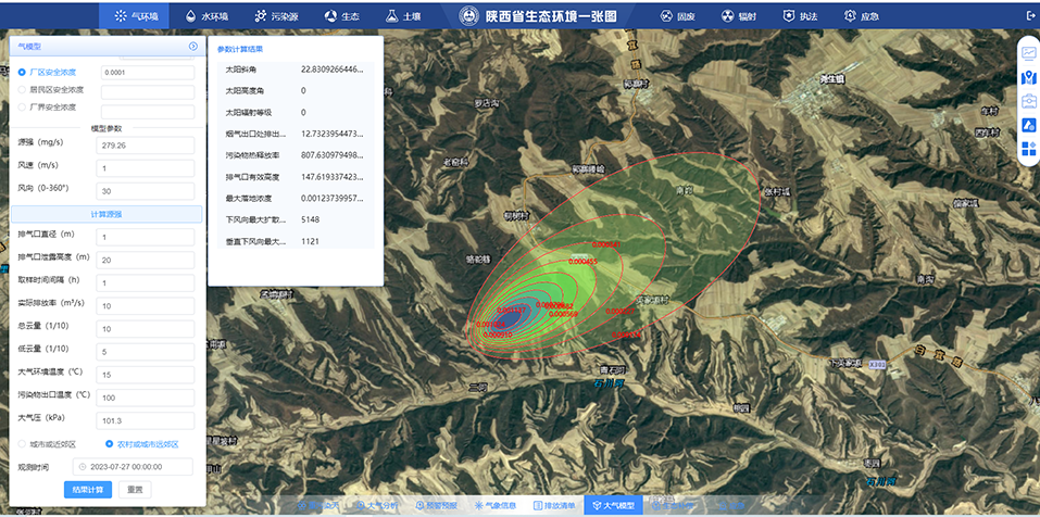
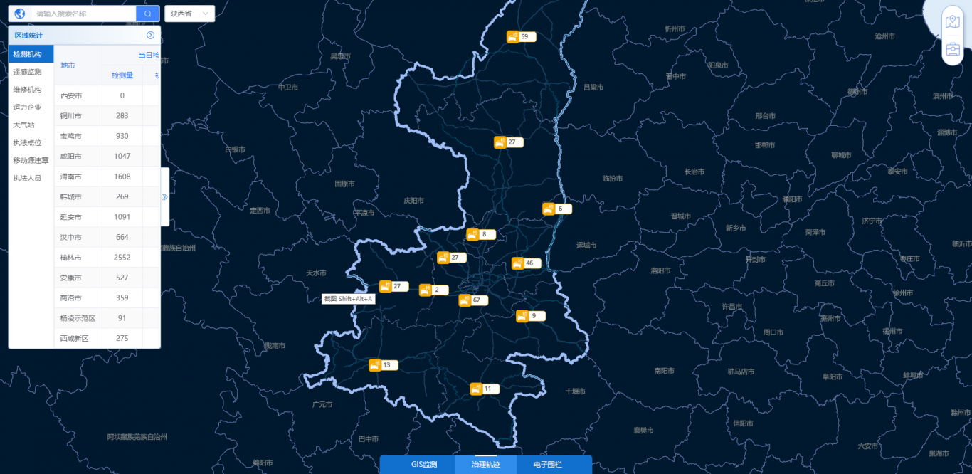
陕西生态环境一张图二三维系统,前端vite+vue,地图api依赖二维ol6.5,,其他turf,kriging,后台springboot+postgis,gis库geotools,lucene,服务:arcgis server ,geoserver大体功能有:点击属性查询,图层展示,缓冲分析,插值分析,聚合图层矢量切片,镶嵌数据集,lucene搜索,车辆轨迹巡航,地图可视化图表统计,canvas地图裁剪,水气模型分析,地图动态云图播放等功能

 立即沟通
立即沟通

